Introduction
A powerful storm named Goretti is causing severe disruption across the UK and France. This intense weather system formed quickly over the Atlantic. Experts describe it as a meteorological “bomb.” The storm brings very strong winds, heavy rain, and unusual thundersnow. Travel networks face major delays and cancellations. This report provides the latest warnings and information on the disruptions.
Storm Goretti Rapidly Intensifies into a Dangerous “Weather Bomb”
The storm underwent a process called rapid cyclogenesis. This means its central pressure dropped very quickly. The fast intensification created a powerful “weather bomb.” The system gathered strength over the Atlantic Ocean. It then moved directly towards the British Isles and northern France. This process explains the exceptional strength of the winds and rain.
Severe Weather Warnings Issued Across Affected Regions
The UK Met Office issued multiple severe weather warnings. These include amber wind warnings for parts of southwest England and Wales. A wider yellow wind warning covers much of the UK. Forecasters warn of gusts reaching 80 miles per hour in exposed coastal areas. Heavy rain warnings are also in place, raising flood risks. Similar severe alerts are active across northern and western France.
Major Flight Disruptions and Airport Chaos Reported
Air travel is experiencing significant problems. Many airlines have cancelled flights for safety. Airports like Heathrow, Gatwick, and Manchester report delays and cancellations. Airlines urge passengers to check their flight status before travelling to the airport. Strong crosswinds make take-off and landing very difficult for pilots. The disruption is expected to continue throughout the day.
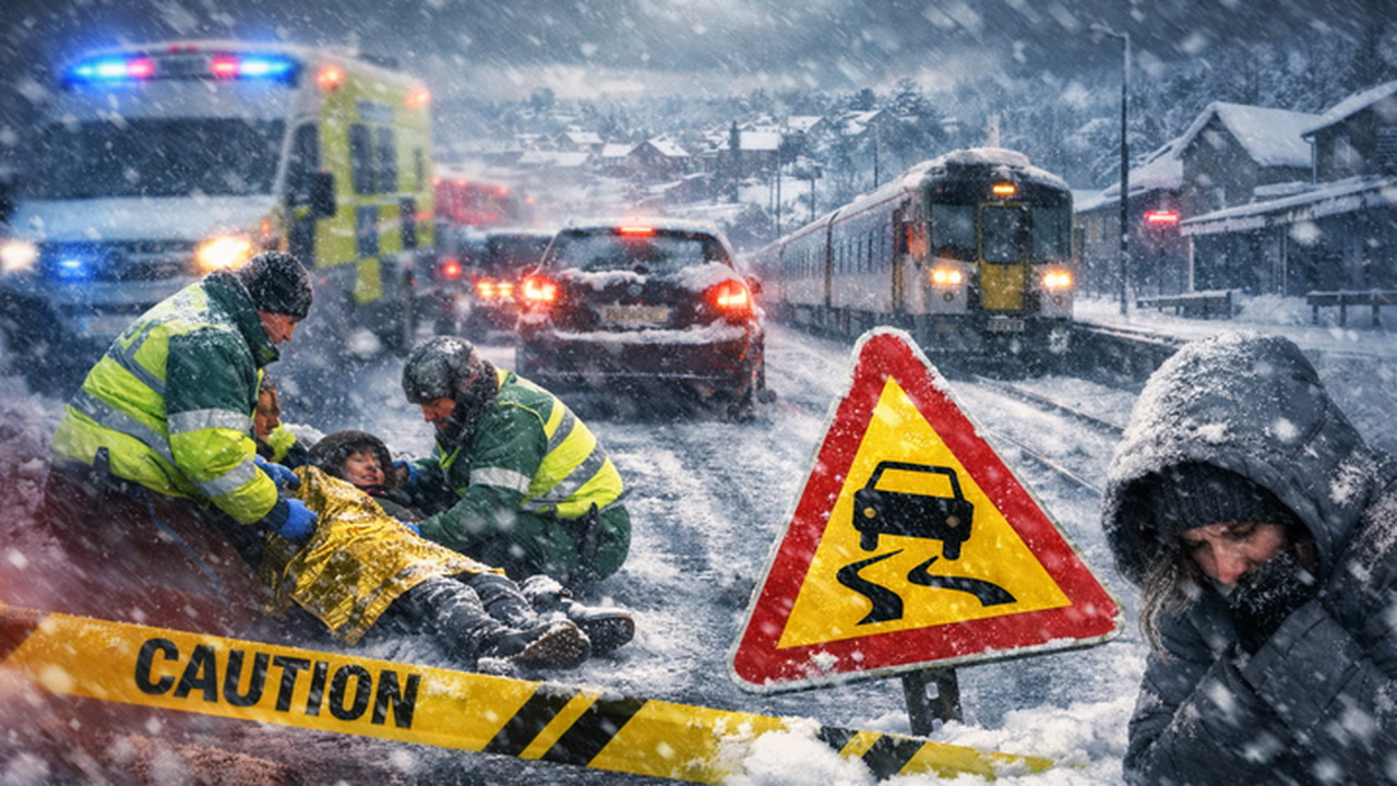
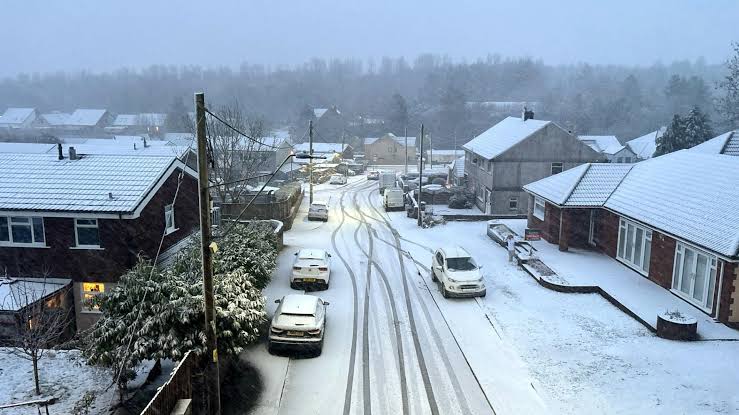
Road and Rail Networks Paralyzed by High Winds and Flooding
Road travel is dangerous and slow. High winds pose a risk to lorries, caravans, and high-sided vehicles. Several major bridges have restrictions or closures in place. Falling trees and debris are blocking many roads. Rail services face delays and cancellations due to flooding on tracks and debris. Network Rail advises people to avoid non-essential travel on trains.
The Rare Phenomenon of “Thundersnow” Hits Some Areas
The storm is producing a rare and dramatic weather event. Some areas are experiencing “thundersnow.” This happens when thunder and lightning occur during a snowstorm. It is most common in intense winter storms. Reports of thundersnow have come from parts of Scotland and northern England. This phenomenon highlights the exceptional energy within Storm Goretti.
Public Safety Advice During the Severe Storm Conditions
Authorities are asking the public to take the warnings seriously. People should stay indoors if possible during the strongest winds. Secure any loose items in gardens or on balconies. Do not walk or drive through floodwater. Only travel if your journey is absolutely necessary. Follow updates from official weather and transport sources for the latest information.
Storm Expected to Move On, But Disruption Will Linger
The core of the storm will move away towards the North Sea later. Wind speeds will gradually ease from the west. However, the cleanup from the damage will take time. Fallen trees and flooding will need to be cleared. Travel disruption will likely continue into the weekend as services recover. The storm serves as a strong reminder of the power of Atlantic winter weather systems.
