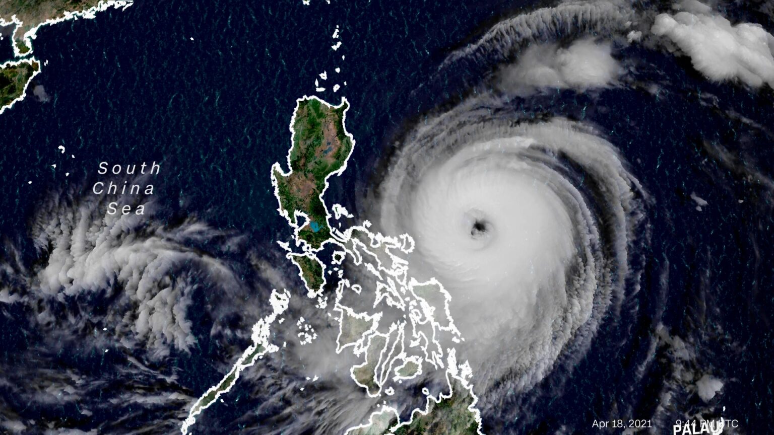
Tropical Cyclone Basyang Intensifies
The state weather bureau PAGASA has raised a critical weather warning for parts of Mindanao. The Tropical Cyclone Wind Signal No. 1 is now in effect over the southern areas of Surigao del Sur. This announcement comes as Tropical Depression Basyang continues to gain strength over the Philippine Sea. The cyclone is currently moving in a southwestward direction, posing a direct threat to several regions. Basyang is expected to bring powerful winds of up to seventy kilometers per hour near its center. Residents in the affected areas must prepare immediately for the arrival of strong winds and heavy rainfall. The government urges the public to monitor official updates closely and follow all safety instructions from local disaster agencies to ensure their protection.
Current Location and Movement of Basyang
PAGASA reports the precise location of Tropical Depression Basyang. The cyclone was last spotted over the coastal waters east of Mindanao. It is moving in a southwestward path, bringing it closer to land. This movement pattern suggests potential landfall within the next few days. Weather forecasters are tracking its speed and direction continuously. All communities along its projected path should remain on high alert. The movement may still change based on atmospheric conditions. The southwestward track indicates a significant threat to the Caraga region and surrounding provinces. People in these areas must secure their homes and review their evacuation plans immediately.
Detailed Areas Under Signal No. 1
The Tropical Cyclone Wind Signal Number 1 is a vital early warning. It signals that powerful winds are expected within the next thirty-six hours. The warning is specifically hoisted over the southern municipalities of Surigao del Sur. This includes communities along the eastern coast of the province. Local disaster councils in these areas are now activating their emergency response plans. The signal warns of winds ranging from thirty-nine to seventy kilometers per hour. These winds may cause light to moderate damage to infrastructure and agriculture. Residents should expect the onset of strong, gusty conditions even before the rain begins. All outdoor activities and sea travel are strongly discouraged in these localities.
 Expected Wind Strength and Rainfall
Tropical Depression Basyang packs maximum sustained winds of fifty-five kilometers per hour. Its gusts are even more powerful, reaching speeds of up to seventy kilometers per hour. These winds are capable of damaging nipa huts and old galvanized iron roofs. They may break branches from trees and cause disruption to power lines. The cyclone will also bring a period of intense rainfall. Moderate to heavy rain showers will begin over Surigao del Sur and nearby areas. This rainfall may trigger flash floods or landslides in vulnerable communities. People living near mountains, rivers, and coastlines face the highest risk. The combined effect of wind and rain requires serious preparation from everyone.
Potential Impacts on Communities and Travel
The impacts of the cyclone will affect daily life and travel. Strong winds pose a clear danger to small seacraft and fishing boats. The coast guard will likely suspend all travel for small vessels in the warned areas. Air travel might also experience delays or cancellations due to bad weather. On land, the winds could topple unstable structures and signs. Power outages are possible in some areas due to downed lines. Heavy rain will reduce visibility on roads and make driving hazardous. Local governments may preemptively cancel classes in public schools. Communities should prepare for these disruptions by securing adequate supplies of food, water, and medicine for several days.
Official Advice from PAGASA and Disaster Agencies
Government agencies are issuing clear instructions for public safety. PAGASA advises residents in the warning area to stay indoors during the storm. People should reinforce their homes by tying down loose roofing materials. Disaster officials warn against last-minute travel or visits to coastal areas. The public should rely only on official information from PAGASA and the National Disaster Risk Reduction and Management Council. Do not share unverified storm updates from social media. Local disaster units are now on standby to conduct preemptive evacuations if needed. Families should know the location of their nearest designated evacuation center. Everyone must take this weather threat with the utmost seriousness.
Preparation Steps for Residents
Immediate action is necessary for people in the path of the storm. Residents should secure important documents in waterproof containers. They should charge all electronic devices and power banks while electricity is still available. Prepare an emergency go-bag containing clothes, flashlights, a radio, and first-aid supplies. Clear drainage ditches around your home to prevent flooding. Secure or bring inside any outdoor objects that could be blown away by the wind. Farmers are advised to harvest mature crops immediately if possible. Boat owners must ensure their vessels are safely moored. By taking these steps now, families can significantly reduce their risk and stay safe during the passage of Tropical Depression Basyang.